Science for a changing world
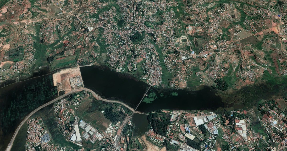
Innovation in remote sensing and IA
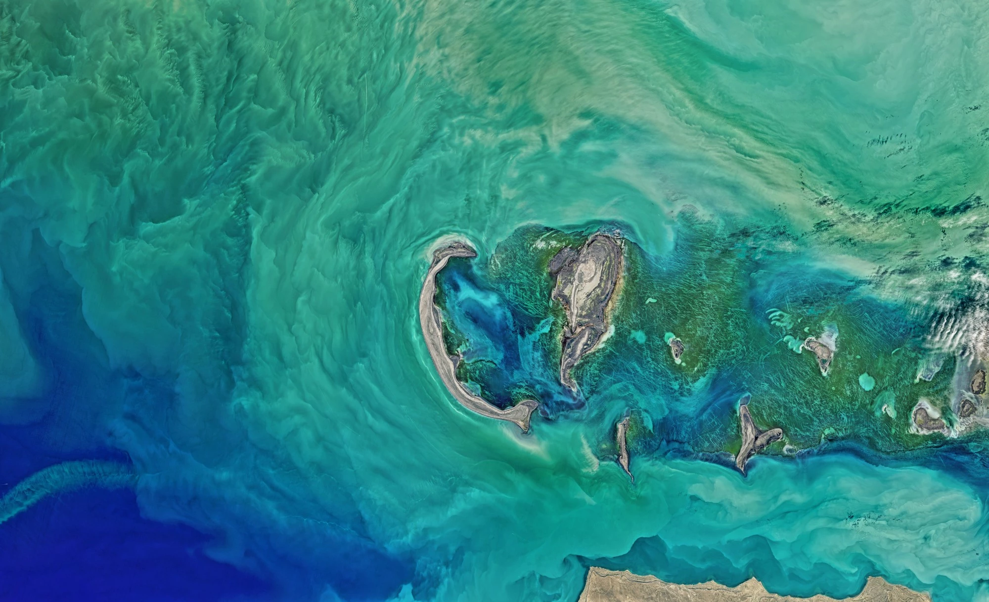
Bridging the research-management gap.

Geosimple leverages cutting-edge technologies in data science and remote sensing to drive innovation in agriculture and natural resource management. By harnessing the power of satellite, aerial and manual sensors, we specialize in generating information on a regional and local scale, providing key information for sustainable development. Our expertise lies in developing scalable remote sensing products that enable industries, governments and communities to make data-driven decisions, optimize resource utilization and address global challenges such as food security and environmental conservation. With a commitment to accuracy and scalability, we transform raw data into meaningful solutions for a better future.
Combine the best available science with new technologies to improve environmental management that increases agricultural productivity, the conservation of natural resources and the resilience of socioecosystems to global change.
The increase in population, consumption and use of fossil fuels is generating unprecedented changes in the Earth system. In this context, it is key to assist decision makers with objective, unbiased, relevant and timely information. Through modern remote sensing techniques, data science and new conceptual frameworks we seek to contribute to solving the most important environmental challenges of our country and the world.
Satellite and airborne active and passive sensors, etc.
Machine Learning, Deep Learning and decision support systems development.
Agricultural practices characterization from field to region.
Quantitative assessment of ecosystem structure and function.
Sound decision making and promotion of social learning.
We use Landsat, Sentinel 1, 2, y 5, MODIS, AVHRR, SAOCOM and Planet image collections as well as UAVs optical images or LIDAR data from GEDI, ICESAT and TLS instruments.
We develop decision support systems using standard and proven methodologies.
Field and landscape level characterization of agricultural history. That is, long term crop sequence (at annual timesteps), crop phenology, crop yield, and occurrence of extreme meteorological phenomena (e.g. droughts and floods).
Land use land cover mapping, quantification of forests carbon stock, vegetation height, tree crown cover, gross and net primary productivity, actual evapotranspiration, and ecosystem services.
We are skilled in problem characterization and framework selection to produce tailored solutions.
veron@geosimple.ar
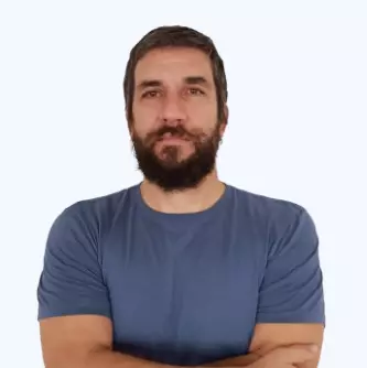
Santiago Verón has a Doctorate in Agricultural Sciences from the University of Buenos Aires, is an Independent Researcher at CONICET (under license) and Adjunct Professor at the Faculty of Agronomy (UBA) where he teaches the subject Management and Conservation of Natural Resources and several postgraduate courses. He is the author of more than 50 scientific publications, supervised 3 doctoral theses and participated and led numerous national and international research projects. He worked for 18 years at the INTA Climate and Water Institute applying satellite information to solve environmental and productive problems in the agricultural sector. This diversity of work experiences allows him to apply modern and robust theoretical frameworks along with advanced data collection and analysis techniques to generate information that assists in decision-making in socio-ecosystems.
banchero@geosimple.ar
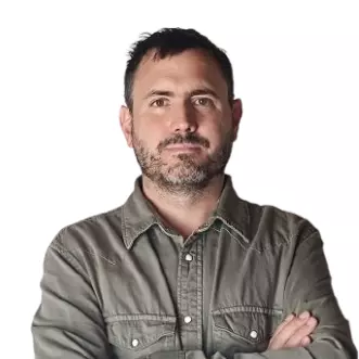
Santiago Banchero has a degree in Information Systems from the National University of Luján (UNLu) and a master's degree in Data Science from the University of Buenos Aires. He worked as a researcher at the INTA Climate and Water Institute for 16 years leading national projects such as GeoINTA -INTA’s spatial data infrastructure- and Characterization of the dynamics of land use by means of optical and radar sensors. He is an Adjunct Professor at UNLu in the course on Massive Databases and also teaches the course on Geospatial Databases and Data Mining for the master's degree in Geomatics Applied to Environmental Risk Management at the Autonomous University of Entre Ríos. He has vast experience in geoprocessing, spatial databases and generation of decision support systems.
